USA 010-11001-50 Topo US 2008 landmarine Map
Model: 010-11001-50 Brand: Garmin
2008 Land/Marine Map - North America - United States Of America - Hawaii, Alaska, Puerto Rico Outdoor enthusiasts: we've mapped every hill and valley for your next great adventure. Now with more detail than ever, this product covers the finer points of the outdoors with topographic maps comparable to 1:100,000 scale USGS maps. It also includes terrain contours, topo elevations, summits, parks, coastlines, rivers, lakes, geographical points and more. « less
Product Specification
-
Universal Product Identifiers
Part Numbers: 010-11001-50, 14154467-000-000GTIN: 00753759991296
Related Products
-
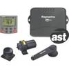
LCX-113C HD - Marine Chartplotter - 10.4" color - 800 x 600
-
LSS-1 StructureScan Sonar Box Only (LOW-99-002)
-
010-C0772-10 Bluechart G2 HEU014RItaly Adriatic Sea Data Card
-
Cdr10 Digital Chart Kit Pr and US VI
-
JQE-103 EPIRB System
-
Auto Pilot S1g/St8001 Inboard E12121
-
Smarterchart SC500A 5 Inch Chartplotter with AIS
-
Toslink Digital Optical Audio Cable 1.5 ft.
-
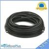
595 50ft S-Video Svideo M/F Extension Cable
-
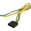
Trailer Wire Male Connector Trailer Connection
-
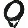
Opc1540 Command Mic III Cable 10617439
-
Marine -9-72652 PLUG,DRAIN - Magnet