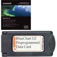
010-C0772-10 Bluechart G2 HEU014RItaly Adriatic Sea Data Card
Model: 010-C0772-10 Brand: Garmin
HEU014R Covers:Includes all of the Adriatic Sea and extends south to Siracusa, Sicilia and Gulf of Arcadia, Greece. Includes detailed coverage of Lago Maggiore, Lago d'Iseo, and Lago d'Garda in Italy.
Product Specification
-
Universal Product Identifiers
Part Numbers: 010-C0772-10, 10805034, 35617GTIN: 00753759091675
Related Products
-
385cxi Fishfinder GPS Combo - International Unit
-
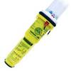
2714 Pathfinder Sart Survival Craft Radar Transponder
-
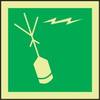
Accuform Signs MLMR128GE NOTICE Sign, 6 x 6In, GRN/Glow Wht, SYM, IMO
-
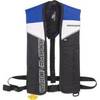
Sospenders 1271 24G Manual Inflatable Vest - Blue
-
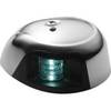
LED Navigation Light Green | Attwood 3530G7
-
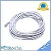
30ft 24AWG Cat6 550mhz UTP Ethernet Bare Copper Network Cable - White
-
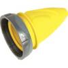
F30Cvl-Sy 30 Amp Connector (F) Cover Yel
-
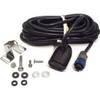
HST-WSBL Transom Mount Depth/Temp Transducer Blue Connector 106-72 whstwsbl
-
Connector Kit for 3/8 Inch LED Rope Light - Imt-ilmdl-con12v-l6
-
8027 AC Main + 6 Positions
-
GSD24 Digital Black Box Network Sounder 010-00957-00 c41203
-
GPS 152 - Marine GPS receiver - 4" monochrome - 100 x 160