NA-M024 SD Card Format US West Coast and Haw
Model: NA-M024 Brand: C-Map
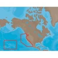
NA-M024 => USA West Coast and HawaiiCoverage of the Pacific Coast of the United States, including all of the coasts of California, Oregon and Washington. Coverage of Baja California and Mexico down to Puerto Vallarta. Detail of the Columbia River, Sacramento River, Willamette River. Snake River and San Joaquin Rivers are also included. Full coverage of Puget Sound and the San Juan Islands up to Point Roberts is also included. Additional coverage of the Hawaiian Islands out to Midway and Johnston Atoll is also included. « less
Product Specification
-
Universal Product Identifiers
Part Numbers: 30147, CMANAM024SD, M-NA-M024, NA-M024-SD, NA-M024SDCARDGTIN: 000000165847, 00686074002746
Related Products
-
4119 Channel Isls/Venture - Santa
-
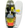
MT-403FF AccuSat 406 Cat 1 EPIRB Non-Hazmat Withbracket
-
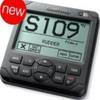
AP2401 Autopilot AP24,AC12,RC42,RF300 No Drive
-
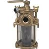
Flushing Strainer, 1 1/4 Inch
-
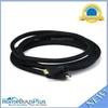
10ft 24AWG CL2 High Speed HDMI Cable w/ Net Jacket - Black
-
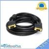
VGA Male to Male Cable 15 ft. CL2
-
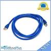
7ft 24AWG Cat6a 500mhz Stp Ethernet Bare Copper Network Cable - Blue
-
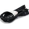
6ft 16AWG Power Cord Cable w/ 3 Conductor PC Power Connector Socket (C13/5-15P) - Black
-
Filters 85-1350 Vent Kit Marine, 1/2 Flange
-
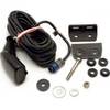
HST-DFSBL Transom Mount Transducer 50/200kHz Depth and Temp Blue Connector wdfsbl
-
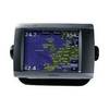
GPSMAP 5208 - Marine GPS receiver - 8.4" color - 640 x 480
-
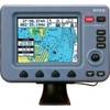
Colormax 6 LCD GPS/WAAS Charting System