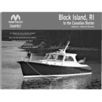
Papr02 Region 2 Paper Chart Kit
Model: Papr02 Brand: Maptech
ChartKits are full-color reproductions of U.S. government and private charts spiral bound into popular cruising regions with aerial photos, pre-plotted courses and more. The convenient-sized books are large enough to allow for manual plotting, yet small enough to sit on your nav-station or lap. Waterproof covers are available. « less
Product Specification
-
Universal Product Identifiers
Part Number: PAPR02
Related Products
-
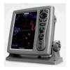
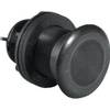
T70045 E97 Multifunction Display w/Sonar - Row Charts
-
T-940-4 8.4 Inch LCD Display 4KW 48NM Radar with 4.5' Open Array and 10 Meter Cable 33603
-
NA-C802 Furuno FP Format Gulf of Alaska
-
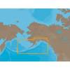
BlueChart g2 Vision - Bretagne - Maps
-
Cat6a Ethernet Cable | 3ft | Gray | Network | 10 Gigabit
-
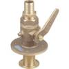
0835006PLB Seacock w/Straight TP 1in
-
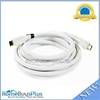
15ft 24AWG CL2 High Speed HDMI Cable w/ Net Jacket - White
-
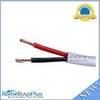
100ft 12AWG CL2 Rated 2-Conductor Loud Speaker Cable (for In-Wall Installation)
-
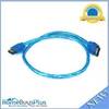
3939 18inch SATA 6Gbps Cable - UV Blue
-
000-0136-02 - 50/200kHz /T, PL Lo-Pro Xdcr, Blue CON
-
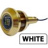
Lumishore Thru Hull Flush Fit 18 Watt Blue Underwater Light
-
Lumishore THX72-B-FF Thru-Hull Flush Fit Underwater Light - Blue 72w