010-C0747-20 Bluechart G2 HXAF001REastern Africa Microsd/sd ADA
Model: 010-C0747-20 Brand: Garmin
General coverage of the east coast of Africa from the Gulf of Tadjoura to the Bay of Maputo, including Mogadishu, Som., Mombasa, Ken., and Dar es Salaam, Tan. Also includes general coverage of the entire coast of Madagascar. Includes detailed coverage of Djibouti, Dji., Maputo, Moz., Mauritius, Reunion, and the Seychelles. See your surroundings more clearly with BlueChart g2 data. With BlueChart g2, you'll get detailed marine cartography that provides convenient viewing of nautical content. BlueChart g2 allows you to see your vessel's precise, on-chart position in relation to naviads, coastal features, anchorages, obstructions, waterways, restricted areas and more. You will also have access to detailed mapping capabilities that include Safety Shading , Fishing Charts , smooth data transition between zoom levels, harmonious transition across chart borders, and reduction of chart discontinuities. « less
Product Specification
-
Universal Product Identifiers
Part Numbers: 010-C0747-20, 10804540, 35576GTIN: 00753759089641
Related Products
-
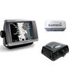
Radar 5008 Package with GMR24HD 4KW Radome & GSD22 Sounder
-
Afi -10010 Compact Single Trumpet Horn SS
-
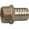
0076010PLB 2 1/2 Pipe to Hose Adapter
-
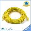
50ft 24AWG Cat6 550mhz UTP Ethernet Bare Copper Network Cable - Yellow
-
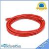
14ft 24AWG Cat5e 350MHz UTP Bare Copper Ethernet Network Cable - Red
-
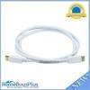
6ft 28AWG DisplayPort Cable - White
-
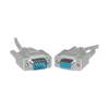
Serial extension cable - (DB-9) - F - (DB-9) - M - 10 ft - PC
-
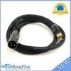
3ft Premier Series XLR Male to RCA Male 16AWG Cable (Gold
-
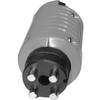
T-H Marine Lj-3420501 Male Battery Charger Plug Red
-
18-8801-1 Premium Marine Spark Plug Wire Leads
-
Marine Products Plug Wire Set 9-28037
-
958C Combo 407750-1