Waterproof Charts 123F Coastal Miami Trolling Chart - FISH/DIVE
Model: 123F Brand:
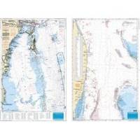
Pierce south to Key Largo and offshore to the West Bahamas, this chart is derived from 6 different Bathymetric charts which show detailed bottom contour thru the deepest water. Highlighted are popular trolling areas with their local names, which provide the structure for the best deep water, fishing. Over 100 GPS coordinates provide targets for trolling fishermen. The reverse side is coverage from North Miami to Elliot Key and has listings for 85 popular wrecks and reefs, many with GPS/Loran Waypoints. A total of 215 numbers!! 25 x 38 « less
Product Specification
-
Universal Product Identifiers
Part Number: 123F
Related Products
-
12 Boat Swain Pipe
-
AIT1000 Class B Transponder w/GPS Antenna Incl
-
MT-403FG AccuSat 406 Cat 1 EPIRB Intern GPS Non-Hazmat Withbracket
-
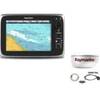
Package(c95 with USA Coastal Chart, 4KW 18 Inch Digital Radome & Radar Cable)
-
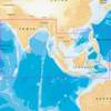
31XG/CF Indian Ocean and South China Sea Gold
-
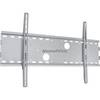
Low Profile Wall Mount Bracket for LCD LED Plasma (Max 165Lbs, 30~63inch) - Silver (No Logo)
-
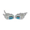
Serial cable - (DB-9) - M - (DB-9) - F - 25 ft - PC
-
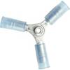
230510 3 Way Connector 16-14
-
A06028 - SeaTalk NG T-Piece
-
5 Inch Power Mount Aft Lean for Universal Domes with Light Bracket Option PMA-5U-7L (PMA-57-M1 + ADA-R1) cpma5u7l
-
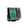
GPSMAP 525 - Marine GPS receiver - 5" color - 640 x 480
-
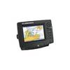
GlobalMap 6600C HD - Marine GPS receiver - 7" color - 640 x 480