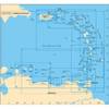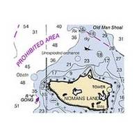
NOAA Rosario Strait-Southern Part Chart
Dept. of Commerce - 18429; NOAA nautical charts Encompasses the Strait of Georgia - U.S. Note: Ensure that your charts are kept current to reflect changes to that area
Product Specification
-
Universal Product Identifiers
Part Number: 18429
Related Products
-
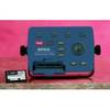
Explorer + Black Box Chartplotter without GPS Sensor
-
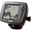
Fishfinder 250 - Fishfinder - included transducer
-
MapSource BlueChart - Italy, Adriatic Sea - Maps
-
A28 Imray Guadeloupe Marine Nautical Chart
-
Max Mega Wide North America c16967
-
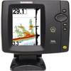
500 Series 596c - Fishfinder - included transducer : XNT-9-20-T - dual-beam
-
SP110RF-9 SP-110 System w/Rudder Feedback & Mechanical Remote D
-
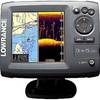
Elite-5 DSi Gold Color DownScan Combo Unit
-
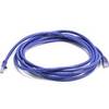
10ft 24AWG Cat5e 350MHz UTP Bare Copper Ethernet Network Cable - Purple
-
Travel Kit USB cable with AC adapter - 4 pin USB Type A - M - PC
-
500ft Bulk, Marine Network Cable, RJ45
-
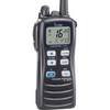
ic-m7201 M72, 6/3/1 Watt, 15 Hr. Batt, Floats