NOAA Dixon Entrance-Cape St. Elias
Dept. of Commerce - 16016; NOAA nautical charts Encompasses the southern part of Southeast Alaska Note: Ensure that your charts are kept current to reflect changes to that area
Product Specification
-
Universal Product Identifiers
Part Number: 16016
Related Products
-
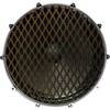
Inked Photography Series Kick Drumhead 24 Inch Boat Props
-
BlueChart g2 Vision - Baltic Sea, East Coast - Maps
-
010-C1024-10 Bluechart G2 HUS401SBermuda Data Card
-
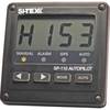
SP110 System w/ rfb & Remote Mech Drive - Sail 8.5"
-
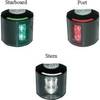
Series 43 White LED Navigation Light Stern
-
191 Marine Navigation LIGHTrule Lights Shapes and maneuvering SIGNALS Key
-
Bulk cable - CAT 5e - Shielded twisted pair (STP) 1000 ft - Black
-
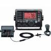
M504 Black VHF Rear Mic Version
-
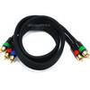
3ft 18AWG CL2 Premium 3-RCA Component Video Coaxial Cable
-
PP118DP Push Plug for 1-1/8 & 1-1/4
-
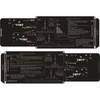
CA200B 82M Bronze Thru Hull Transducer 2KW No Plug 13297
-
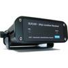
AIS Network Dual Channel Receiver SLR-200N