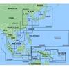
NA-M033 C-Card Format - Atlantic Coast Gulf Caribbean
Model: NA-M033 Brand: C-Map
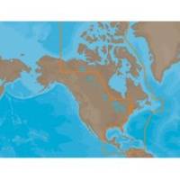
NA-M033 => Atlantic Coast, Gulf of Mexico and Caribbean Coverage includes most of the eastern coastline of North America. Lawrence and Nova Scotia. The St. Lawrence River is covered down to Montreal. The Gulf of Mexico, from Key West, FL to Brownsville, TX is covered in its entirety. All the islands of the Caribbean are covered, from the Bahamas over t « less
Product Specification
-
Universal Product Identifiers
Part Number: NA-M033C-CARDGTIN: 00686074002883
Related Products
-
120 Sonar - Self-training course
-
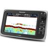
E97 Multifunction 9" Display with Sonar - US Inland Charts T70047 c44343
-
MapSource BlueChart - Yellow Sea - Maps
-
CF/635P+ W Gulf of MX Plat + on CF
-
Max EW-M009 MW2 Atlantic European Coasts-MAX
-
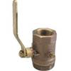
Inline Valve, 1 1/2 Inch Pipe
-
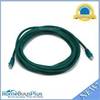
14ft 24AWG Cat6 550mhz UTP Ethernet Bare Copper Network Cable - Green
-
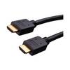
Vanco Installer Series High Speed - Video / audio / network cable - Male 19 pin HDMI Type A to M 19 pin HDMI Type A
-
2640 Fiber Optic Patch cable,mtrj (m)/st,10m
-
Anderson Marine Adapter 7-Pole Round to AND-V5416
-
Marine Products Plug Wire Set 9-28032
-
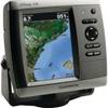
010-00772-01 GPSMAP 526S Marine GPS Receiver