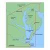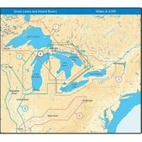
NT+ Wide Map, Lake Huron/Georgian Bay/North Channel NA-C104
Model: NA-C104 Brand: C-Map
C-MAP has set the standard for electronic charts with five consecutive NMEA awards for "Best Electronic Cartography". Built on the incredible success of C-MAP NT+, NT+ Wide combines a generation of chartplotters with efficient performance plus real-time accuracy and detail. Now you will be able to see slip detail as well as the locations for onshore facilities. « less
Product Specification
-
Universal Product Identifiers
Part Number: NA-C104GTIN: 00686074003071
Related Products
-
AP2404VRF Autopilot AP24,AC42,RC42,RPU160
-
8M0029351 Wireless Sonar Adapter Garmin 6-Pin
-
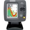
300 Series 141c - Fishfinder - included transducer : XNT-9-20-T - single-beam
-
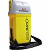
MT410G AccuSat 406 PocketPro PLB w/Integral GPS
-
MapSource BlueChart - Chesapeake - Maps
-
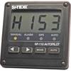
SP110RF-1 SP-110 System w/Rudder Feedback & No Drive Unit
-
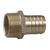
Pipe to Hose Adapter- Perko
-
TM200-30 Temperature Probe f/SST-110 TM
-
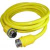
50 Amp 50' Cord Set - Yellow - 125/250V
-
230510 3 Way Connector 16-14
-
PH6625 Male Connector Phone
-
18-4461 Brass Connector