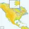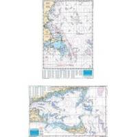
Massachusetts Fishing Chart Fish & Dive Nautical Marine Charts - Waterproof Charts
Designed for recreational boaters, fishermen and divers. Waterproof Charts are beautifully printed on synthetic paper. For use on deck in any weather rain or spray! Accurate, used by Coast Guard and Navy, simple to use with GPS. Foldable and easy to hold and store Waterproof Charts are so tear resistant you can't ruin them. Printed on both sides so they save you money! Exceptionally clear, uncluttered and easy to use, Side one has great detailed coverage of the south side of Cape Cod and Nantucket Sound with major sportfish grounds highlighted. Over 60 GPS Waypoints on this side guide you to fishing grounds, wrecks and navigation markers. Each waypoint with its local name, is accurately plotted on the chart so you can see the relative position and plan your trip. The reverse side shows the offshore grounds from over 40 miles south of Marthas Vineyard east to Little Georges Bank and north to the New Hampshire/Maine border with over 90 plotted positions for sportfish grounds, wrecks and navigation buoys. Includes both Stellwagen Bank and Jefferys Ledge. Over 150 total GPS numbers. Information from 2 NOAA charts 13237 and 13009. GPS datum. « less
Product Specification
-
Universal Product Identifiers
Part Number: 64F
Related Products
-
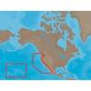
NA-M024 SD Card Format US West Coast and Haw
-
Great Lakes and The Maritimes NA-M026 c30127
-
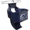
9502 Low Pro 3 Cat II EPIRB Mounting Bracket
-
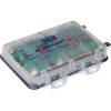
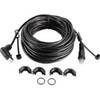
2682 AIS Transceiver with Cables Software No Antennas
-
D10DX06T D10DX.06T Depth Sounder
-
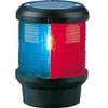
Navigation Light Tri Color Pedestal Mount
-
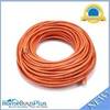
100ft 24AWG Cat6 550mhz UTP Ethernet Bare Copper Network Cable - Orange
-
Serial cable - (DB-37) - M - 10 ft - PC
-
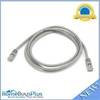
5ft 24AWG Cat5e 350MHz UTP Bare Copper Ethernet Network Cable - Gray
-
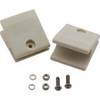
Marine -10710-3 Slat Rail Connectors
-
Split Connector 40ft Right Angle RJ45 Plug
-
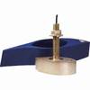
B260-6BR 1kW Thru-Hull Transducer Garmin 6-Pin Connector