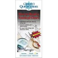
How to Read A Nautical Chart: A Complete Guide to the Symbols, Abbrevi
"Calder has done it again. Using them to your best advantage requires a thorough understanding of the symbols and abbreviations and an awareness of the limits of accuracy in positions and soundings. Did you know, for example, that hydrographic standards used to collect the majority of data on modern charts are considerably less accurate than GPS position fixes? That the majority of soundings still come from lead-line surveys? That a wreck symbol surrounded by a dotted circle means it is considered dangerous? That there are four different kinds of rock symbols, each with a different meaning? And that the definition of "danger" has changed over time and will depend on the age of your charts? In How to Read a Nautical Chart, trusted boating authority Nigel Calder answers these and hundreds of other questions clearly and concisely. Nigel's enthusiasm and insight turn a mundane chart into a map of buried treasure. « less
Product Specification
-
Universal Product Identifiers
GTIN: 09780071592888
Related Products
-
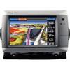
GPSMAP 740 GPS Chartplotter with Internal GPS Antenna 010-00835-02
-
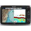
T70047 E97 Multifunction Display W Sonar - US Inland Charts
-
010-C0730-10 Bluechart G2 HUS029RSouthern Bahamas Data Card
-
Adjustable Tilting/Swiveling Wall Mount Bracket for LCD LED Plasma - Corner Friendly (Max 125Lbs, 32~60inch) (REV.2.0)
-
2-1/2" Water Strainer
-
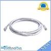
25ft 24AWG Cat5e 350MHz UTP Bare Copper Ethernet Network Cable - Pink
-
10ft 24AWG Cat6 550mhz UTP Ethernet Bare Copper Network Cable - White
-
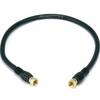
1.5ft RG6 (18AWG) 75OHM, Quad Shield, CL2 Coaxial Cable with F Type Connector - Black
-
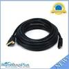
25ft 26AWG CL2 Standard HDMI to DVI Adapter Cable - Black
-
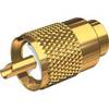
PL-259-G Standard Marine Radio - Antenna Connector
-
/ Quicksilver 22-85822T Speedo Tube Connector
-
Electronics Corp Univ Splash Guard Grey SG4