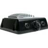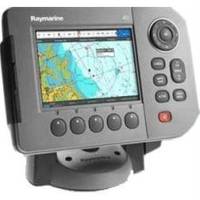
A50 GPS / Chartplotter
Model: A50 Brand: ---
[The Raymarine A50 GPS-Chartplotter is powerful navigation system that combines a direct sunlight viewable high resolution 5" VGA color display with advanced chartplotting. The rugged waterproof construction make the A50 a perfect fit for center consoles and open cockpits. This A50 is preloaded with ready-to-navigate Navionics cartography for coastal U.S. waters and the Great Lakes. Expand your chartplotters capability by adding optional Navionics Gold or HotMaps charts using the onboard CompactFlash card reader. Or step up to Navionics Platinum for the ultimate chartplotting experience. Navionics Platinum charts feature 3D and satellite cartography, panoramic port photos, dy] « less
Product Specification
-
Universal Product Identifiers
Part Number: E62184-US
Related Products
-
GSD 22 - GPS receiver remote sonar sensor
-
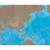
AN-M203 SD Card Format Yellow Sea & Malaya
-
Marine World Chart of Nicolo De Canerio Januensis 1502: A Critical Study [Book]
-
SmartCast RF35 - Fishfinder - portable - included transducer : RF45 - single-beam
-
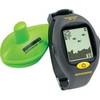
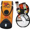
Fast Find Ranger PLB Promo WFast Find Safety Kit
-
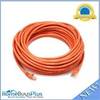
50ft 24AWG Cat6 550mhz UTP Ethernet Bare Copper Network Cable - Orange
-
Cat6a Ethernet Cable | 2ft | Orange | Network | 10 Gigabit
-
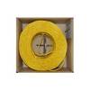
Bulk cable - CAT 6 - Unshielded twisted pair (UTP) 1000 ft - Yellow
-
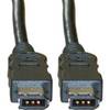
FireWire 6 Pin / 6 Pin 10ft Cable | IEEE-1394
-
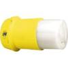
HBL26CM13 30A Female Connector
-
Std-hx370s VHF Marine Radio
-
407150-1M 1157CX 10.4" GPS Chartplotter Combo Internat