8267; Map-Lake Oroville/San Luis
Model: 8267 Brand: Fish-n-Map
FISH-N-MAP UNDERWATER TOPOGRAPHY MAPSMade of waterproof, tear resistant plastic. Features include: underwater depth contours, fish locations, latitude and longitude for GPS, multiple freshwater lakes on one map, boat ramps, recreational facilities and much more.
Product Specification
-
Universal Product Identifiers
Part Numbers: 082671, 234800, 432450, 8267, MSI432450GTIN: 00761428082671
Related Products
-
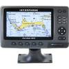
Chartmaster 169CS (u1-Chrt-169i)
-
E70014 C127 Multifunction Display W Sonar - No Preloaded Ch
-
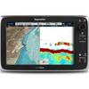
C97 Multifunction 9" Display with Sonar - aus, NZ, S. America, Asia Charts T70025 c44026
-
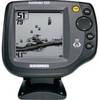
500 Series 525 - Fishfinder - included transducer : XNT-9-20-T - single-beam
-
NT+ Wide Chart (European Region & Middle East)
-
Chartwork and marine navigation for fishermen and boat operators [Book]
-
50ft 24AWG Cat6 550mhz UTP Ethernet Bare Copper Network Cable - White
-
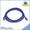
25ft 24AWG Cat6a 500mhz Stp Ethernet Bare Copper Network Cable - Blue
-
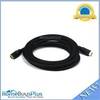
12ft 24AWG CL2 High Speed HDMI Cable w/ Net Jacket - Black
-
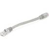
0.5ft 24AWG Cat5e 350MHz UTP Bare Copper Ethernet Network Cable - Gray
-
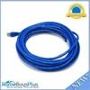
7ft 24AWG Cat5e 350MHz UTP Bare Copper Ethernet Network Cable - Purple
-
SB-9BL Switch Box 2 Transducers-1 Unit Blue Connector