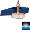
5209; Map-Roosevelt Lake
Model: 5209 Brand: Fish-n-Map
FISH-N-MAP UNDERWATER TOPOGRAPHY MAPSMade of waterproof, tear resistant plastic. Features include: underwater depth contours, fish locations, latitude and longitude for GPS, multiple freshwater lakes on one map, boat ramps, recreational facilities and much more.
Product Specification
-
Universal Product Identifiers
Part Numbers: 250137, 5209GTIN: 00761428052094
Related Products
-
000-10612-001 Triton Pilot Computer - Low Current
-
Dd15 Mechanical Pump Drive 21119896
-
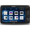
T70053 E127 Multifunction Display w/Sonar - European Charts
-
Paper Chart Kit Book Region 04 Ches Bay and Del Bay
-
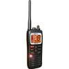
DE6141 Floating Marine Handheld vhfradio
-
CANNON 720076-1 as DPS Y Serial Port Splitter Cable
-
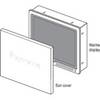
Suncovers for G Series Marine Displays G190 9717661
-
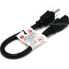
1ft 14AWG Power Cord Cable w/ 3 Conductor PC Power Connector Socket (C13/5-15P) - Black
-
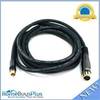
10ft Premier Series XLR Female to RCA Male 16AWG Cable (Gold Plated)
-
B260-HB 1kW Thru-Hull Transducer Humminbird #9 Connector
-
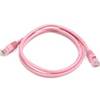
3ft 24AWG Cat5e 350MHz UTP Bare Copper Ethernet Network Cable - Pink
-
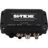
MDA-1 Metadata Class B AIS Transceiver W Internal GPS