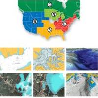
37636 HotMaps Platinum Multi-Dimensional 3D Lake Maps
Model: 37636 Brand: Navionics
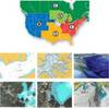
HotMaps Platinum Multi-Dimensional Lake Maps - with 1000 of Navionics exclusive high-definition lake maps to 1' contours featuring 3D bottom view, top-down photo/map overlay and panoramic lake pictures. FREE Fish'N Chip high-definition fishing
Product Specification
-
Universal Product Identifiers
GTIN: '82124512594, 00821245125941Part Numbers: 11094265, 37636, DEF-257887MSDSO6, HMPT-S6, MSD-HMPT-S6
Related Products
-
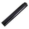
3" Pushrod Extension f/Tiller Pilots
-
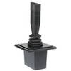
Autopilot Joy Stick E12136 c15658
-
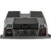
010-00958-00 - GSD 26 Sounder Module 3KW Chirp
-
LMB-A1 F 2KW 4KW Raymarine Garmin Domes
-
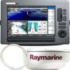
T62291 C Series Widescreen System Packs
-
37361 HotMaps Platinum Multi-Dimensional 3D Lake Maps
-
NA-C704 Furuno FP Format Texada Is - Caamano Snd
-
30ft 24AWG Cat6 550mhz UTP Ethernet Bare Copper Network Cable - Yellow
-
Powerboat Navigation Light, All Round Plug In, 42 Inch
-
15ft 32AWG Mini DisplayPort to DVI Cable - White
-
18 8091 Fuel Connector
-
EC04230 Yellow Butt Connector 12-10