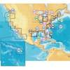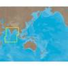
37361 HotMaps Platinum Multi-Dimensional 3D Lake Maps
Model: 37361 Brand: Navionics
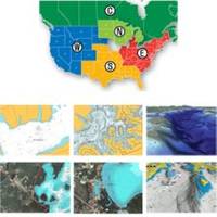
HotMaps Platinum offers 300 of Navionics exclusive high-definition lake maps featuring 1 contours, 3D bottom view, top-down photo/map overlay, and panoramic lake pictures. HotMaps Platinum series also offers 14,000 additional lakes with underwater structure, improved accuracy, major roads, county lines and more. HotMaps Platinum is compatible with most new Humminbird, Lowrance, Northstar, and Raymarine chartplotters. Please call for chartplotter compatibility. « less
Product Specification
-
Universal Product Identifiers
Part Numbers: 11094216, 37361, 37631, CF-HMPT-S6, DEF-257887-CFSO6GTIN: 00821245125705
Related Products
-
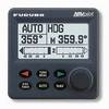
Autopilot Second Station
-
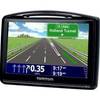
GO 630 - Automotive GPS receiver - 4.3" color - 480 x 272 - widescreen
-
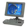
JMA-5104 Black Box Radar 48 NM with 4KW 24 Inch Dome without Display
-
MSD/674P+ Marine Map - North America - United States of
-
IN-M002 SD Card Format Indian Ocean
-
NT+ Olympia, Wa - Port McNeill, BC NA-C701
-
2529 15ft 28AWG Standard HDMI Cable w/Ferrite cores - Black
-
HDMI to Micro HDMI Cable, High Speed with Ethernet, 15 ft
-
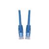
Patch cable - CAT 6 - RJ-45 - M - Unshielded twisted pair (UTP) 10 ft - Blue
-
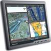
E02037 19� Ultra Bright Marine Display / G190
-
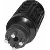
T-H Marine Tmbmp-1-Dp Ranger T/M Male Plug Black
-
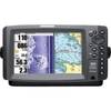
900 Series 997c SI Combo CHO - Marine Chartplotter - 8" color - 800 x 480 - widescreen