4122 San Diego/Oceanside - Coronado
Model: 4122 Brand: Fish-n-Map
FISH-N-MAP UNDERWATER TOPOGRAPHY MAPSMade of waterproof, tear resistant plastic. Features include: underwater depth contours, fish locations, latitude and longitude for GPS, multiple freshwater lakes on one map, boat ramps, recreational facilities and much more.
Product Specification
-
Universal Product Identifiers
Part Number: 4122
Related Products
-
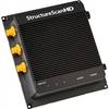
000-10801-001 LSS-2 StructureScan HD Sounder W O Transducer
-
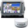
010-00883-00 GPSMAP 740S Radar Pack w/GMR 18 HD
-
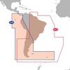
Max Electronic Chart - South America - Costa Rica to Chile & The Falklands, Wide Coverage SA-M500
-
2744NH.91 FBRS 2744NH Battery Replacement Service
-
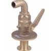
Bronze Seacock, 3/4 Inch Adapter, 90 Degree 0834005PLB
-
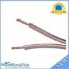
300ft 12AWG Enhanced Loud Oxygen-Free Copper Speaker Wire Cable
-
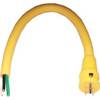
100A Marine Electrical Shore Power Blank Adapter
-
B260-BL 1kW Thru-Hull Transducer Lowrance 7-Pin Blue Connector
-
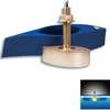
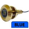
Lumishore THX36-B Thru-Hull Flush Fit Underwater Light - Blue 36W
-
8166 LED 11/64" 230VAC, Red
-
Barbour Air Cooled Power Plate PB100134
-
GlobalMap 5300C iGPS - Marine GPS receiver - 5" color - 480 x 480