010-00749-01 - GPSMAP 7212, 12 Tchscrn MFD, Coast Map
Model: 010-00749-01 Brand: Garmin
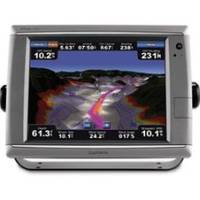
These premier touchscreen GPS/Chartplotters all include an external GPS antenna and a worldwide, satellite enhanced basemap. In addition, the 7200 models include preloaded BlueChart g2 maps of the U.S. coastal areas, including Alaska, Hawaii, and the Bahamas. Additional maps can be easily added with the SD card slot. All units allow for the addition of sonar, radar, weather, and more. Powerful microprocessors provide ultra-fast map redraw and refresh rates with near real-time data to guide you. Live video feeds are easy with the video inputs for cameras, night vision, etc. and output options for remote display. For additional enhanced features these units accept optional BlueChart g2 Vision cards with 3-dimensional perspectives, high-resolution satellite images, Auto Guidance, and more. Includes: Waterproof (IPX7), High-sensitivity, external antenna, NMEA 0183, NMEA 2000 and PC video monitor input/outputs, SD? « less
Product Specification
-
Universal Product Identifiers
Part Numbers: 010-00749-01, 11068558, 37772, GAR0100074901GTIN: 00753759099367
Related Products
-
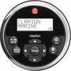
Marine Remote Control with LCD 10377778
-
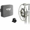
E12133 SmartPilot X-5 Wheel Corepack (No Control Head)
-
Package(C140W, RA1072HD 4KW 72 Inch HD Digital Open Array Radar & 15m Radar Cable)
-
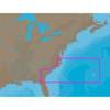
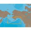
NA-C304 Furuno FP Format Norfolk Bermuda Jac
-
NA-C802 Furuno FP Format Gulf of Alaska
-
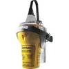
EPIRB with GPS Auto Release Cat I EG50 Auto c30587
-
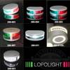
Ram Marine Navigation Lights (3) 05
-
LED Navigation Lights, Masthead Tricolor w/ Anchor 65 ft
-
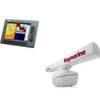
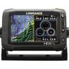
HDS-7M Gen2 Touch Insight Chartplotter
-
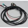
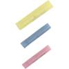
Butt CONNECTOR, Single CRIMP, Nylon Insulated Red, 22-18, 100 Pack
-
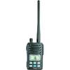
IC-M88 VHF 22-channel Two-way radio
-
T70103 e7D 7" Multifunction Display w/Sonar, Internal G