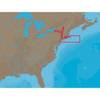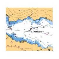
Vancouver Harbour,Eastern Portion Indian Arm Chart
3495; Canadian charts of the Pacific region Encompasses the Strait of Georgia - Canada Note: Ensure that your charts are kept current to reflect changes to that area
Product Specification
-
Universal Product Identifiers
Part Number: 3495
Related Products
-
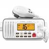
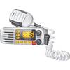
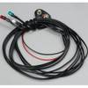
IC-M412 Fixed Mount VHF Marine Radio
-
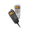
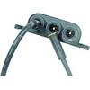
Marine HM195 Commandmic IV - HM195 Mic
-
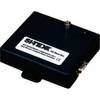
AISBLACKBOX - Assists in Monitoring, Management and Collision P
-
NA-C302 C-Card Format Cape Cod Long Is & Hudson R
-
Solara Marine Radio
-
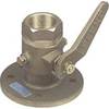
0805005PLB 3/4" Seacock Ball Valve Bronze
-
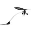
010-00737-00 GWS 10 Marine Wind Sensor
-
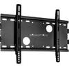
Low Profile Wall Mount Bracket for LCD LED Plasma (Max 165Lbs, 23~37inch) - Black
-
Ram Marine Navigation Lights (3) 05
-
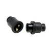
Molded Marine Connector 2 Conducter Seachoice 13801
-
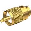
PL-259-8X-G Gold Solder-Type Connector
-
Simnet Bulkhead Connector 11498961