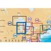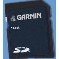
UK/IRE Marine Detail Map G2 Update SD Card
Model: Brand: Garmin
NOTE: This update is for units preloaded with Bluechart g2 mapping. It will NOT work with Bluechart g2 Vision, or with Bluechart g2 preloaded map microSD/SD cards. This preprogrammed update card for your Garmin chartplotter gives you detailed electronic nautical charts that provide a smooth data transition between zoom levels. Data includes navaids, port plans, depth contours, fishing contours, spot soundings and more. Sharp, colorful graphics let you see every cartographic contour and feature, with a minimum of panning and zooming to bring the chart data into focus. This package contains map data and a software update for your device. You must perform the software update on your device before this map will work. The card must remain in the device to view updated maps. *Recycled microSD cards may be used to program map data. « less
Product Specification
-
Universal Product Identifiers
Part Number: 010-10800-70
Related Products
-
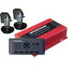
AP35-2 Autopilot with AP35, J300X, Rudder Feedback RF300
-
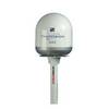
U1-200B-00A SE-200B Sonar TM 90 Degree Both Vert/Horiz w/2
-
Radar Pole Mount 8' Kit for Raymarine 2KW and 4KW
-
MSD/646P+ Platinum Plus Lake Michigan on SD/MicroSD
-
WPC025; Upper Chesapeake Bay
-
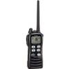
M72-11 Hand Held VHF w/Built in Scrambler
-
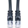
Cat6a Ethernet Cable | 1ft | Black | Network | 10 Gigabit
-
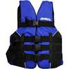
LJ-XXL - Adult Life Vest Size XXL
-
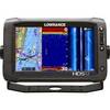
000-10775-001 HDS-12 Gen2 Touch Insight - No Transducer
-
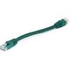
Green Six Inch Category 5 Enhanced Cat 5e Ethernet Network Cable .5
-
B175-20-M Broadband CHIRP, No CONNECTOR, Depth & Temperature Thru-Hull Tilted
-
CPN1010i 10 in. Networking GPS with WiFi Preloaded