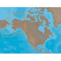
NA-M028 C-Card Format Alaska
Model: NA-M028 Brand: C-Map
C-MAP MAX NA-M028 - Alaska - C-Card -- 30134 -- NA-M028 = AlaskaCoverage of the southern Alaska coast from Dixon Entrance up and over to Kodiak Island. Includes all of the Aleutian Islands out to Attu Island, Bristol Bay, and the North Slope over to Liverpool Bay in the Yukon Territory, Canada. Additional coverage of the MacKenzie River down to the 1160 km distance marker. « less
Product Specification
-
Universal Product Identifiers
Part Numbers: 30134, NA-M028, NA-M028C-CARDGTIN: 000000165842, 00686074002838
Related Products
-
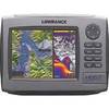
HDS 7 Base Multifunction without Transducer 140-34
-
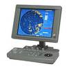
JMA-5104 Radar 48NM with 10 Inch Color LCD Display with 4KW 24 Inch Dome
-
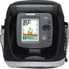
300 Series 343c Portable - Fishfinder - portable - included transducer : XNT-9-20-T - dual-beam
-
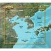
BlueChart g2 Vision - Yellow Sea - Maps
-
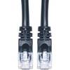
Cat6a Ethernet Cable | 3ft | Black | Network | 10 Gigabit
-
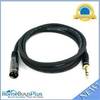
6ft Premier Series XLR Male to 1/4inch TRS Male 16AWG Cable (Gold Plated)
-
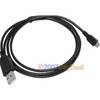
3ft USB 2.0 A Male to Micro 5pin Male 28/24AWG Cable w/ Ferrite Core (Gold Plated)
-
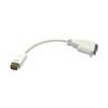
VGA cable Apple mini-DVI - male - 15 pin HD D-Sub (HD-15) - female
-
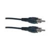
Video / audio cable - Male RCA to M RCA
-
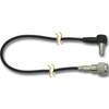
/ Quicksilver 22-808727 Trim Hose Connector W/Screen
-
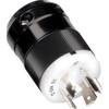
2018BP-24 24V Black T-Motor Plug
-
Dgada93m DA93M 3 Adapter Cable with