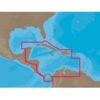
NA-C502 Furuno FP Format Western Caribbean S
Model: NA-C502 Brand: C-Map
NA-M320 => Passamaquoddy Bay to Cape LookoutCoverage includes offshore bathymetric details from Passamaquoddy Bay, ME to Cape Lookout, NC. Coverage extends from the coastline out to the Atlantic Canyons - Hudson, Baltimore, Oceanographer and others. Fishing Contour Charts do not include coastal navigational features and are recommended for offshore fishing only. « less
Product Specification
-
Universal Product Identifiers
Part Numbers: 20172, 31356, CMANAC502FP, NA-C502, NA-C502FURUNOFP, NA-M320-SD, NA-M320SDCARDGTIN: 00686074003835
Related Products
-
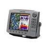
C97 Multifunction 9" Display with Sonar - European Charts T70023 c44025
-
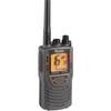
mrhh 325 VP Marine VHF Transceiver Radio
-
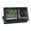
AP50 02 Autopilot System - AP50 2 Autopilot
-
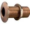
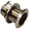
2" 2-3/8" 3-5/8" Perko Thru Hull Connection for Pipe
-
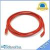
10ft 24AWG Cat6 550mhz UTP Ethernet Bare Copper Network Cable - Red
-
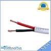
50ft 16AWG CL2 Rated 2-Conductor Loud Speaker Cable (for
-
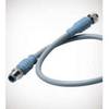
Micro Cable 1 Meter
-
222110 Butt Connectors 6-14 500/pk
-
P66-BL with Lowrance Blue Connector 50/200 D/S/T
-
B75-0-L Broadband Chirp 0 Degree Tilt, No CONNECTOR, Depth & Temperature Thru-Hull Tilted
-
HDS-8 - Marine Chartplotter - 8" color - 800 x 600
-
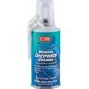
CRC Marine Electronics Die-Lectic Grease 06106 (3.3 oz.)