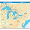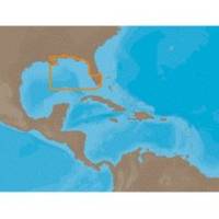
NA-C401 C-Card Format - St. Lucie Inlet LK Pontch
Model: NA-C401 Brand: C-Map
C-MAP has set the standard for electronic charts with five consecutive NMEA awards for "Best Electronic Cartography". Built on the incredible success of C-MAP NT+, NT+ Wide combines a generation of chartplotters with efficient performance plus real-time accuracy and detail. Now you will be able to see slip detail as well as the locations for onshore facilities. « less
Product Specification
-
Universal Product Identifiers
Part Numbers: 19562, M-NA-C401, NA-C401C-CARDGTIN: 000000099675
Related Products
-
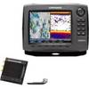
44488 HDS-8 Gen2 Insight LSS-2 HD Bundle
-
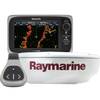
e7D 7" Multifunction Display with Sonar, Internal GPS, USA Inland Charts, RD418D Radar & No Transducer T70106 c44596
-
GPSMAP 640 - Marine, automotive Chartplotter - 5.2" color - 800 x 480
-
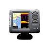
Elite 5 DSI - Fishfinder - included transducer : Skimmer DSI
-
NA-C103 (W+95) Erie Ontario & Trent Severn - FP-Card
-
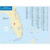
ChartKit Book w/Companion CD - Florida East Coast & Map
-
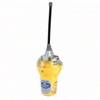
Smartfind E5 EPIRB - Auto Float Free - Yellow/White 29951
-
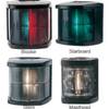
5045SS7 Stainless Steel Deck Mount Navigation Light
-
Marine 2 NM Stern Lamp
-
100 Amp to 50 Amp, 125/250 Volt, Straight Adapter A100H50HS/A
-
da-da572 Mini-UHF Male to TNC Female Adapter
-
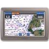
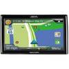
RoadMate RV 9145-LM - Automotive GPS receiver - 7" color - 800 x 480 - widescreen