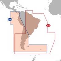
Max Electronic Chart - South America - Costa Rica to Chile & The Falklands, Wide Coverage SA-M500
Model: SA-M500 Brand: C-Map
Mfr: C-MAP Electronic Charts - SA-M500; MAX Electronic Charts for South America let you navigate Latin America with C-Map's most accurate maps with their fastest performance from your chart plotters. C-Map creates electronic charts from official paper charts and adds features paper charts do not provide. Make your boating safer & more enjoyable with C-Map Max. An alarm sounds when any danger areas are detected. MAX charts pan chart areas & coastal roads seamlessly showing you bottom depths in 32 levels & land elevations in 15. MAX charts present all raster & simple vector chart information undiluted & with no manipulation of chart data or odd scaling. MAX charts provide seamless coverage allowing smooth panning between coverage layers of any given navigation area. MAX electronic charts let you choose North-up or Chart-up view options. The NavAids are presented in detailed, true color paper chart appearance. C-MAP Electronic charts are produced using official Hydrographic Office (HO) charts under the controls of ISO 9002 certified quality system. They are accurate to the best of C-Map's knowledge and any inconsistencies found are generally due to undetectable limitations in the HO charts themselves. Where due, Royalty Charges are included in C-CARD prices and paid to National Hydrographic Authorities. « less
Product Specification
-
Universal Product Identifiers
Part Number: SA-M500
Related Products
-
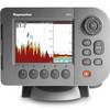
E62186US E62186-US E62186 US A50D 5" Fishfinder - Chartplo
-
CP450C ClearPulse Chirp Sonar E102143 c44376
-
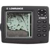
X126DF Dual Frequency Sonar 117-08
-
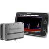
Package(C120W, DSM300G Sounder, RA1048D 4KW 48 Inch HD Digital Open Array Radar & 15m Radar Cable)
-
Max IN-M203 W68 Gulf of Martaban to Jakarta-MAX
-
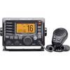
M504 Black VHF Radio with Hailer M504A 61
-
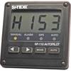
SP110RF-1 SP-110 System w/Rudder Feedback & No Drive Unit
-
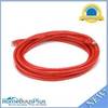
14ft 24AWG Cat5e 350MHz UTP Bare Copper Ethernet Network Cable - Red
-
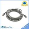
14ft 24AWG Cat6 550mhz UTP Ethernet Bare Copper Network Cable - Gray
-
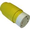
30F1 30 Amp - 125VAC Female Connector
-
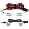
MARE-002 - Adapter, Yamaha Cmnd Link to Micro Fem
-
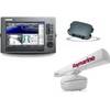
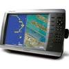
GPSMAP 4010 Plotter with GPS Antenna 010-00690-00