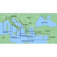
MapSource BlueChart - Adriatic Sea, South Coast - Maps
Model: Brand: Garmin
MapSource BlueChart is Garmin's exclusive marine cartography and was developed to provide you with mapping flexibility and options you've never had before. This line of cartography products is designed to provide interactive viewing of detailed nautical chart data, thereby providing navigators with innovative object-oriented cartography. These detailed electronic nautical charts look just like paper charts when displayed on your Garmin chartplotter. Features include shading between depth contours, spot soundings, navaids, port plans, wrecks, obstructions, inter-tidal zones, and more. BlueChart offers much larger coverage areas for half the price. MapSource BlueChart Adriatic Sea, South Coast provides detailed coverage of Italian coast from Porto Civitanova to extend south to Siracusa, Sicilia. From Split, Croatia to Killini, Greece. « less
Product Specification
-
General
Product Type: MapsDistribution Media: microSD Memory CardFirst Seen On Google Shopping: January 2006 -
Compatibility Information
Designed For: Garmin eTrex Legend Cx, Vista Cx Garmin GPSMAP 60CSx, 60Cx, 76CSx, 76Cx -
Universal Product Identifiers
Part Numbers: 010-C0440-00, Adriatic Sea, South Coast
Related Products
-
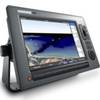
E62113-US - C120Wide 12 MFD, US Charts, Int GPS
-
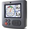
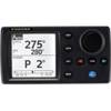
ST70 Multifunction Color Display E22105
-
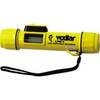
LPS - 1 Hand - Held Digital Sonar Depth Finder
-
GMR 1204 XHD Radar 4 ft. 12KW Pedestal Array
-
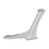
Vision Series 24" Dual Mount F/ Radars & Sat Domes
-
010-C0748-10 Bluechart G2 HAF002RSouth Africa Data Card
-
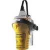
EPIRB with GPS Manual Release Cat II EG50 Manual c30588
-
NAVPILOT 700 High-Performance, Universal Autopilot Package
-
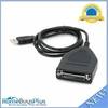
USB to Parallel(DB25 Female) Converter Cable - 4ft (DB25)
-
25ft DB-25(IEEE-1284) Male to Mini/Micro Centronic 36(hpcn36) Male Cable [IE]
-
Marine network cable
-
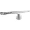
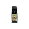
GPSMAP 78 - Marine, hiking GPS receiver - 2.6" color - 160 x 240