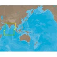
IN-M002 SD Card Format Indian Ocean
Model: IN-M002 Brand: C-Map
Coverage of Indian Ocean. It covers coastal areas along Mauritiuis, Seychelles, United Kingdom, Maldives, India, Gulf of Kachchh, Colombo, Bangladesh, Rangoon in Burma, Pluket in Thailand and Banda Ache in Indonesia.
Product Specification
-
Universal Product Identifiers
Part Numbers: IN-M002, IN-M002SDCARD
Related Products
-
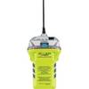
2848.0 Globalfix iPro 406 MHz GPS EPIRB - Category 2
-
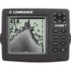
X135 Power - Pro Sonar 117-01
-
BlueChart g2 Vision - Southwest Caribbean - Maps
-
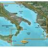
BlueChart g2 Vision - Adriatic Sea, South Coast - Maps
-
Inc MSD/PREM-N6 Map, HotMaps Premium North
-
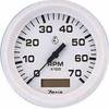
Tachometer with Hourmeter, 6K, 4" for Inboard, Aluminum - Faria
-
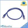
2ft 24AWG Cat5e 350MHz UTP Bare Copper Ethernet Network Cable - Purple
-
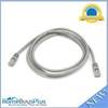
5ft 24AWG Cat5e 350MHz UTP Bare Copper Ethernet Network Cable - Gray
-
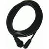
Opc1540 Command Mic III Cable 10617439
-
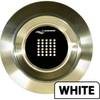
Lumishore THX72-B-FF Thru-Hull Flush Fit Underwater Light - Blue 72w
-
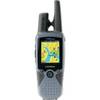
RINO 520HCx - Hiking GPS receiver / two-way radio - Color - 176 x 220
-
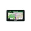
n�vi 2360LT - Automotive GPS receiver - 4.3" color - 480 x 272 - widescreen