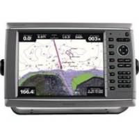
GPSMAP 6012 - Marine Chartplotter - 12.1" color - 1024 x 768
Model: 6012 Brand: Garmin
Unleash a new level of power across your helm with the GPSMAP 6012. This premier chartplotter is the next evolution in Garmin's series of full-featured marine products. The GPSMAP 6012 also provides total system integration - allowing support for the addition of sonar, radar, weather and more. « less
Product Specification
-
General
Product Type: ChartplotterRecommended Use: MarineCard Reader: SD Memory CardInterface: NMEA 0183, NMEA 2000Functions & Services: Tide TabAntenna: ExternalFeatures: Alarm, XM Satellite Radio support, XM weather supportFirst Seen On Google Shopping: March 2010 -
Display
Type: LCD - colorDiagonal Size: 12.1"Resolution: 1024 x 768 -
Navigation
Waypoints: 5000Tracks: 50Tracklog Points: 50000Routes: 100Trip Computer: Sun/moon positions -
Connections
Interfaces: Garmin Marine Network -
Miscellaneous
Waterproof Standard: IPX7 -
Dimensions & Weight
Width: 15 inDepth: 5.9 inHeight: 9.9 inWeight: 15.9 lbs -
Universal Product Identifiers
Part Numbers: 010-00751-00, 6012GTIN: 00753759099336
Related Products
-
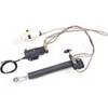
M81202 Type 3 Hydraulic Linear 12V
-
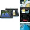
G10 10" Mfd W/2KW Sonar 408020-1
-
T70047 E97 Multifunction Display w/Sonar - US Inland Charts
-
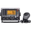
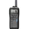
M504 Black VHF Radio
-
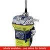
2844 Globalfix Pro 406 EPIRB Integral GPS - Category 2
-
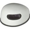
Innovative Lighting LED Deck Mount Navigation Light - White
-
25ft DB-25(IEEE-1284) Male to Mini/Micro Centronic 36(hpcn36) Male Cable [IE]
-
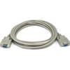
10ft DB 9 F/F Molded Cable
-
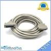
A06028 - SeaTalk NG T-Piece
-
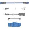
010-11324-00 - Gra 10 Rudder Angle Adpt
-
M92-01 Clas D DSC VHF Marine RAD
-
9282.3 PT Pad Remote Kit for RCL50-100