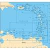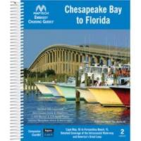
Embassy Cruising Guides - Chesapeake Bay to Florida #BKCBF-02
Model: BKCBF-02 Brand: Maptech
Cape May and Delaware Bay through the Chesapeake and Intracoastal Waterway to Fernandina Beach, FL. Packed with marinas, local navigation advice, aerial photos, and ICW Bridge Table. 560 pages. Use with Chartkit Regions 4 and 6. Product Overview Embassy Guides are the perfect navigation companion when you're planning your trip and underway. They're filled with detailed navigation advice and are an enjoyable read. Maptech offers four guides covering the East Coast of the U.S. from Maine to Florida, plus the Bahamas and Alabama. Designed for Ease of Use Find the information you need quickly. Harbors are indexed by chapters. Marina and facility locations cross-reference quickly with harbor chart segments. Even the crush-proof spiral binding and wrap-around covers are designed for easy page turning and bookmarking. Local Knowledge « less
Product Specification
-
Universal Product Identifiers
Part Number: BKCBF-02
Related Products
-
AP5012 Autopilot with AP50, J50, Rudder Feedback RF300, HLD2000LS (Long Stroke Split)
-
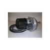
Dashboard Autopilot Drives for Cable Steering 12V 29010002
-
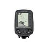
X-4 - Fishfinder - portable - included transducer : Skimmer
-
A29 Imray Dominica Marine Nautical Chart
-
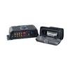
SonicHub Marine Audio Server Radio / digital player
-
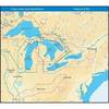
NT+ Wide Map, Lake Huron/Georgian Bay/North Channel NA-C104
-
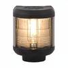
40500-7, Series 40 Stern Black HSG
-
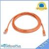
7ft 24AWG Cat5e 350MHz UTP Bare Copper Ethernet Network Cable - Orange
-
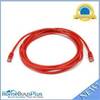
10ft 24AWG Cat5e 350MHz UTP Bare Copper Ethernet Network Cable - Red
-
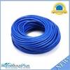
100ft 24AWG Cat6a 500mhz Stp Ethernet Bare Copper Network Cable - Blue
-
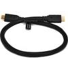
2ft 24AWG CL2 High Speed HDMI Cable w/ Net Jacket - Black
-
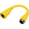
HBL61CM71 Adapter 30A Female to 50A 250V Male