Chartwork and marine navigation for fishermen and boat operators [Book]
Product Specification
-
Authors: Geoff A. Motte, Thomas M. StoutPages: 173Format: paperbackPublication Date: 1984.07Key Terms: parallel sailing, Loran, celestial sphere, position line, celestial pole, plane sailing, nautical miles, Chart Datum, set and drift, Nautical Almanac, Pole Star, position circle, parallax, rhumb line, meridian altitude, Vineyard Sound, zenith distance, prime meridian, azimuth, intercept method
-
Universal Product Identifiers
ISBN: 0870333143GTIN: 09780870333149
Related Products
-
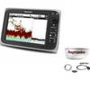
Package(c97 with USA Coastal Chart, 4KW 24 Inch Digital Radome & Radar Cable)
-
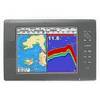
NX40 8.4" Display Built in Sounder with GPS Antenna
-
GMR 1206 XHD Radar 6ft/12kW Pedestal Array
-
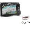
Package(e95 with USA Coastal Chart, 4KW 24 Inch Digital Radome & Radar Cable)
-
BlueChart g2 Vision - Southeast Caribbean - Maps
-
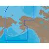
NA-C804 Furuno FP Format Northern Alaska
-
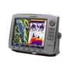
HDS-10 - Marine Chartplotter - 10.4" color - 800 x 600
-
Max AN-M204 W52 Japan and Hokkaido-MAX
-
MHS125 Marine Handheld Radio
-
50ft 22AWG CL2 Standard HDMI to DVI Adapter Cable - Black
-
14ft 24AWG Cat5e 350MHz UTP Ethernet Bare Copper Network 139
-
E42001 - VHF, Ray240, Modular w/Hailer