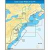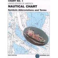
Chart No. 1 Nautical Chart Symbols Abbreviations and Terms: Spiral-Bound [Book]
Chart No. 1 contains a description of the symbols, abbreviations and terms that appear on nautical charts produced by the National Imagery and Mapping Agency, the National Ocean Service and the International Hydrographic Organization.
Product Specification
-
Authors: Griffes, NIMAFormat: bookPublication Date: January 1, 2000
-
Universal Product Identifiers
ISBN: 1577852761GTIN: 09781577852766
Related Products
-
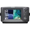
409000-1 858c HD Di Combo
-
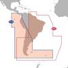
SA-C003 Furuno FP Format - Rio de Janeiro - Cape Horn
-
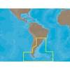
Max Electronic Chart - South America - Costa Rica to Chile & The Falklands, Wide Coverage SA-M500
-
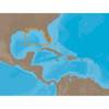
SD699P N Bahamas Plat + on M155-Sd
-
NA-C401 C-Card Format - St. Lucie Inlet LK Pontch
-
NT Pass BAY-NANTUCKET NAC301
-
75ft 24AWG Cat6 550mhz UTP Ethernet Bare Copper Network Cable - Red
-
3726 USB to Serial Convert Cable ( Db9m / USB A Male) - 3ft
-
Wiring Device-Kellems HBL61CM64 Inlet,marine,15 A 3d235
-
998c Si Combo Cho Display Only #407760-1CHO
-
TNC-BC-G G/P TNC Barrel Connector
-
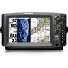
T70002 E7 7" Multifunction Display - Internal GPS, Row