BlueChart g2 Vision - Cape Cod - Maps
Model: Brand: Garmin
BlueChart g2 Vision offers the same rich detailed charting of BlueChart g2 to help you get the most out of your unit. In addition, g2 Vision features a growing database of high-resolution satellite imagery, above and below the water 3D perspective, auto guidance technology, aerial photographs for real world reference and coastal roads with points of interest. This product features Gloucester through New London, including Narragansett Bay, Block Island, Martha's Vineyard, Nantucket Island, the entire Cape, and includes general coverage Georges Bank. « less
Product Specification
-
General
Product Type: MapsDistribution Media: SD Memory CardFirst Seen On Google Shopping: May 2007 -
Compatibility Information
Designed For: Garmin GPSMAP 4008, 4012, 420, 4208, 420s, 4212, 430, 430s, 430sx, 430x, 440, 440s, 440sx, 440x, 450, 5008, 5012, 520, 5208, 520s, 5212, 525, 525s, 530, 530s, 535, 535s, 540, 540s, 545, 545s, 550, 550s, 555, 555s -
Universal Product Identifiers
Part Numbers: 010-C0704-00, Cape CodGTIN: 00097367188502, 00740327805031, 00753759068844
Related Products
-
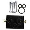
010-11201-00 Autopilot Unbalanced Valve Kit
-
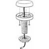
Rite 250 Manufacturing Marine T-Beam GPS Surface
-
Package(c95 with aus, NZ, S. America, Asia Chart, 4KW 24 Inch Digital Radome & Radar Cable)
-
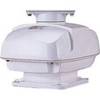
RSB0073-087 24/48 rpm Gearbox with 25.0 KW Transceiver (FR8252)
-
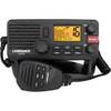
000-10788-001 Link-5 DSC VHF Radio
-
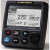
Navpilot700ob Autopilot Outboard Requires Pump
-
3ft USB Sync Cable for All 30-pin iPad, iPhone, and iPod - White
-
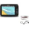
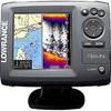
Elite 5 5" 83/200kHz Chartplotter/Fishfinder
-
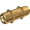
PL-258-L-G Bulkhead Barrell Connector for PL-259
-
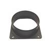
Marine Systems Inc HA5P Hose Adapter 5 in. duct. Ebo7/8
-
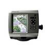
GPSMAP 441 - Marine GPS receiver - 4" color - 240 x 320
-
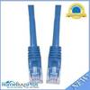
Cat6a Ethernet Cable | 2ft | Blue | Network | 10 Gigabit