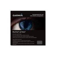
BlueChart g2 Vision - Aegean Sea and Sea of Marmara - Maps
Model: Brand: Garmin
BlueChart g2 Vision offers the same rich detailed charting of BlueChart g2 to help you get the most out of your unit. In addition, g2 Vision features a growing database of high-resolution satellite imagery, above and below the water 3D perspective, auto guidance technology, aerial photographs for real world reference and coastal roads with points of interest. This product features coverage of all of the Greek coast and Aegean Sea; Turkey from Istanbul and Sea of Marmara to Antalya; and Brindisi, Italy. « less
Product Specification
-
General
Product Type: MapsDistribution Media: SD Memory CardFirst Seen On Google Shopping: June 2007 -
Compatibility Information
Designed For: Garmin GPSMAP 4008, 4012, 420, 4208, 420s, 4212, 430, 430s, 430sx, 430x, 440, 440s, 440sx, 440x, 450, 5008, 5012, 520, 5208, 520s, 5212, 525, 525s, 530, 530s, 535, 535s, 540, 540s, 545, 545s, 550, 550s, 555, 555s -
Universal Product Identifiers
Part Numbers: 010-C0773-00, Aegean Sea and Sea of MarmaraGTIN: 00753759069537
Related Products
-
Dashboard Autopilot Drives for Cable Steering 12V 29010002
-
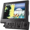
Package(C140W, RA1072HD 4KW 72 Inch HD Digital Open Array Radar & 15m Radar Cable)
-
DRS4A - Digital Radar 4kW 48NM 3.5' Oa 15m Cable
-
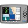
NSS8 Navigation Pack - NSS8 3G Radar
-
1964CBB Radar Chartplotter, Black Box, 6' Antenna & C-Map
-
NA-C701 C-Card Format Olympia Wa - Port MCNE
-
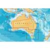
Australia South Platinum Marine Charts on SD Card MSD/61P+
-
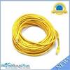
75ft 24AWG Cat6 550mhz UTP Ethernet Bare Copper Network Cable - Yellow
-
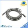
14ft 24AWG Cat6 550mhz UTP Ethernet Bare Copper Network Cable - Gray
-
ATA-100/133, FC 40 Pin (80C) x 3, 30 Awg, 40TP Black Round Cable, 18 Inch
-
PL-258-CP-G Shakespeare Gold Splice Connector for RG-8X or RG-58/AU Co
-
Marine EC11 GPS-Chartplotter/Fish Finder with External Antenna, C-Map Max Card & 10.4" Color Display; NMEA Network Compatible - SI-TEX