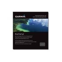
BlueChart g2 - The Netherlands (HEU018R) - Maps
Model: HEU018R Brand: Garmin
BlueChart g2 features crisp labeling and an overall smoother presentation on your chartplotter display. In addition to the basic charts, tidal stations, currents, depth contours, IALA symbols and included fishing charts, BlueChart g2 offers improved transitioning between zoom levels and more seamless continuity across chart boundaries. BlueChart g2 also adds safety shading which allows the user to enable contour shading for all depth contours shallower than the user-defined safe depth. The fishing charts are designed to emphasize bathymetric contours with less visual clutter on the display. « less
Product Specification
-
General
Product Type: MapsDistribution Media: microSD Memory CardBundled with: SD Card adapterFirst Seen On Google Shopping: December 2010 -
Universal Product Identifiers
Part Numbers: 010-C0775-20, The Netherlands (HEU018R)GTIN: 00753759091743
Related Products
-
T-940-4 4KW 4.5' Open Array Radar
-
Baynes Sound Chart
-
Fastfinder 406 Max-G Personal Locating Beacon 10-85-890-001A
-
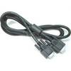
3ft 24AWG Cat6 500mhz Crossover Ethernet Bare Copper Network Cable - Red
-
PKG-MR333 - Marine In-Dash Stereo & 6.5" 2-Way Speakers
-
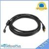
DVI or VGA Interconnect Cable to (digital) 10M
-
15ft USB 2.0 A Male to Micro 5pin Male 28/24AWG Cable w/ Ferrite Core (Gold Plated)
-
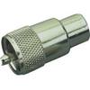
329900-1 UHF Connector Male F/8U Cable
-
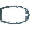
Marine Products Gasket, Adapter Plate 9-60042
-
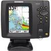
500 Series 597ci Combo - Marine Chartplotter - 4.5" color - 480 x 640
-
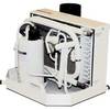
FCF-12000 Feel Cool Fast Marine Air Conditioner by Webasto
-
2842 Globalfix Pro 406 EPIRB Integral GPS - Category 1