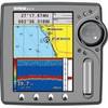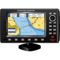
7" GPS Chartplotter W/MAPS
Model: Brand: Standard Horizon
The CP390i comes preloaded with detailed maps for coastal navigation of the USA, Great Lakes, Canada, Hawaii, Mexico and the Bahamas. The CP390i boasts a 7-inch crisp high-resolution 800x480 sunlight viewable 16:9 aspect ratio Wide Screen display. 10' accuracy is obtained with the integrated 50 channel WAAS GPS receiver or optional GPS Smart antenna. These units come fully equipped with a swivel bracket and flush mount hardware. NMEA connections are available to compatible VHF for DSC distress and position polling functions. Connect to a video source and watch your favorite DVD, play your favorite video game, or monitor your engine room in full screen or Picture in Picture. To find fish, wrecks and record water temperature, simply connect the optional FF525 50/200 kHz black box fish finder and transducer. Dedicated MARK, ROUTE and INFO keys allow for fumble free operation. 5 user programmable hot keys allow quick and easy access to a number of preprogrammed navigation displays. « less
Product Specification
-
Universal Product Identifiers
Part Numbers: 12008314, 40651, CP390I, DEF-258480GTIN: 00788026124107
Related Products
-
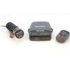
S1000 Autopilot Wireless E12169 C16576
-
U1-200N-000 SE-200 BB Sonar w/o Ducer Includes VGA & Video
-
WPC087; Throgs Neck to Grenwich CT
-
Cat6a Ethernet Cable | 15ft | Blue | Network | 10 Gigabit
-
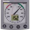
ST60 Plus Wind System, Wind System with Display, St 60 Ray Marine
-
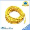
75ft 24AWG Cat6 550mhz UTP Ethernet Bare Copper Network Cable - Yellow
-
EC5EF 5 Inch GPS Chartplotter Fishfinder Combo External Antenna
-
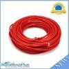
100ft 24AWG Cat6 550mhz UTP Ethernet Bare Copper Network Cable - Red
-
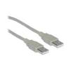
USB cable - 4 pin USB Type A - M - 10 ft - PC
-
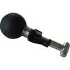
Ram 1.5" Connector
-
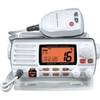
GX1500SW 25W Fixed Mount VHF Second Sta
-
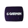
protective Cover Marine GPS