3206 Lake Mohave
Model: 3206 Brand: Fish-n-Map
FISH-N-MAP UNDERWATER TOPOGRAPHY MAPSMade of waterproof, tear resistant plastic. Features include: underwater depth contours, fish locations, latitude and longitude for GPS, multiple freshwater lakes on one map, boat ramps, recreational facilities and much more.
Product Specification
-
Universal Product Identifiers
Part Numbers: 032065, 249956, 3206GTIN: 00761428032065
Related Products
-
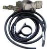
010-11202-00 Autopilot VeradoAdapter Kit
-
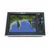
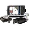
G10 10" Multifuntion Display w/Built in 2KW Sonar 40341
-
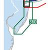
Waterproof Chart Kit - New Jersey Coast #WPB0360-02
-
GPSMAP - 531/531S - v.2.3 - GPS software (update)
-
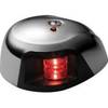
LED Navigation Light Red | Attwood 3530R7
-
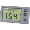
E22044 ST-40 Depth w/Thru Hull Transducer
-
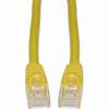
Cat6a Ethernet Cable | 5ft | Yellow | Network | 10 Gigabit
-
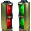
Double Lens, Side Navigation Lights, 120V Volts, 1164 Series, Red
-
25ft 22AWG 3-RCA Component Video Coaxial Cable (RG-59/U) - Black
-
100ft 24AWG Cat6 550mhz UTP Ethernet Bare Copper Network Cable - Black
-
1852069 Adapter Cable Lowrance 6 Pin
-
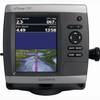
GPSMAP 4212 Network Bundle Includes GSD22 & Gxm51 p2683