3205 Lake Mead
Model: 3205 Brand: Fish-n-Map
FISH-N-MAP UNDERWATER TOPOGRAPHY MAPSMade of waterproof, tear resistant plastic. Features include: underwater depth contours, fish locations, latitude and longitude for GPS, multiple freshwater lakes on one map, boat ramps, recreational facilities and much more.
Product Specification
-
Universal Product Identifiers
Part Numbers: 032058, 234610, 3205GTIN: 00761428032058
Related Products
-
8M4001959 Tour Series Sonar Adapter Lowrance 6 Pin
-
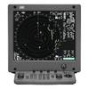
JMA-5110 Radar 72NM with 10KW 6 Foot Open Array & 10 Inch Color LCD Display
-
JMA-5312-6 Radar 96 NM with 6' Open Array & 19 Inch LCD Monitor
-
Radar 5012 Package with GMR18 4KW Radome
-
CFHMPTE6 HotMaps Platinum Multi-Dimensional 3D Lake Maps
-
T70044 E95 Multifunction Display w/ROW Charts
-
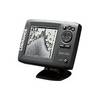
Mark 5x Portable - Fishfinder - included transducer : Skimmer
-
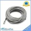
50ft 24AWG Cat6 500mhz Crossover Ethernet Bare Copper Network Cable - Gray
-
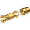
PL-258-CP-G Shakespeare Gold Splice Connector for RG-8X or RG-58/AU Co
-
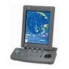
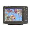
GlobalMap 9200C - Marine GPS receiver - 10.4" color - 600 x 800
-
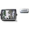
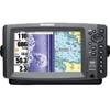
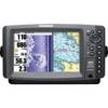
900 Series 997c SI Combo NVB - Marine Chartplotter - 8" color - 800 x 480 - widescreen
-
900 Series 997c SI Combo - Marine Chartplotter - 8" color - 800 x 480 - widescreen