3204 Lake Havasu
Model: 3204 Brand: Fish-n-Map
FISH-N-MAP UNDERWATER TOPOGRAPHY MAPSMade of waterproof, tear resistant plastic. Features include: underwater depth contours, fish locations, latitude and longitude for GPS, multiple freshwater lakes on one map, boat ramps, recreational facilities and much more.
Product Specification
-
Universal Product Identifiers
Part Numbers: 234560, 3204GTIN: 00761428032041
Related Products
-
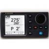
NAVPILOT700OB Autopilot
-
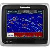
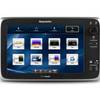
A67 Mfd Touchscreen W/built-in Digital Sonar - Navioni Map
-
Radar Pole Mount 8' Kit for Raymarine 2KW and 4KW
-
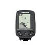
X-4 - Fishfinder - portable - included transducer : Skimmer
-
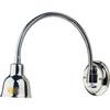
Marine Lighting, LED, Bulkhead Mount, Ocean Chart Lamp, 10 - 30V DC, Small, Stainless Steel Finish, Warm
-
SD651P Cent Gulf of MX Plat+On M155Sd
-
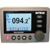
T70056 E125 Multifunction Display w/US Inland Charts
-
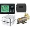
AP2804VRF Autopilot System
-
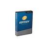
TimeZero Odyssey Navigation Software
-
5ft 24AWG Cat5e 350MHz UTP Bare Copper Ethernet Network Cable - Red
-
SP36-5 Autopilot w/ Rate Comp Rotary Feedback 18CI Pump
-
Tv1060 Screwon F Connector 2Pak