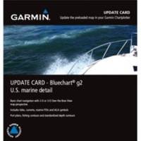
010-10800-72 Bluechart G2 Map Update
Model: 010-10800-72 Brand: Garmin
Garmin has created an update for units preloaded with BlueChartr g2 U.S. coastal maps. This update will provide customers with the newest charting additions and Notice to Mariners changes available, including navaids, port plans, depth contours, fishing contours, spot soundings and more. The update card will also contain a software update for Garmin devices. The software update must be performed on the device before the update map will work. Also please note that the card must remain in the device to view updated maps. The card does not overwrite the unit's internal maps. Features: Provides basic chart navigation with 2-D or 3-D over the bow view map perspective Includes tides, currents, marine points of interest (POIs) and IALA symbols Displays port plans, fishing contours and standardized depth contours « less
Product Specification
-
Universal Product Identifiers
Part Numbers: 010-10800-72, 38847, GAR0101080072GTIN: 00753759102524
Related Products
-
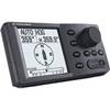
NAVPILOT 500 Navigational Autopilot with Heading Sensor - No PU
-
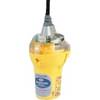
Smartfind Plus G5 GPS EPIRB Automatic Cat I
-
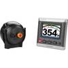
GHP20 Marine Autopilot System for Viking 010-00705-56
-
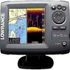
Elite-5 DSi Gold Color DownScan Combo Unit
-
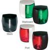
Marine Naviled Pro Starboard Navigation Light 12039749
-
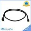
6ft 30AWG High Speed HDMI Cable - HDMI Connector to HDMI Mini Connector - Black
-
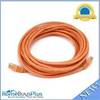
20ft 24AWG Cat5e 350MHz UTP Bare Copper Network Ethernet Cable - Orange
-
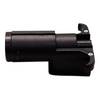
Navigation Light Masthead
-
Peterson V5413 Harness Adapter, 6 to 4 Way, PK 3
-
30 Amp to 20 Amp, 125 Volt Straight Adapter, Yellow A3020S
-
20.0 Sbeg Generator
-
Terk Sirmarine Satellite Radio Antenna